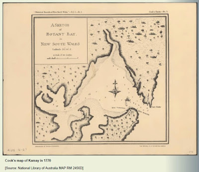
Organised by Bayside Council this talk by Dr Paul Irish on 8 October was about the shifting shoreline of this part of Sydney and its ancient past. Attending were 66 people at 1.37pm during the q-and-a segment.
Dr Irish is the author of ‘Hidden in Plain View’ and is an archaeologist. His firm worked on the 2015 NSW History Fellowship Exhibition. Dr Irish won the 2017 Premier’s History Award.
In the process of talking about ancient changes to the Botany Bay shoreline Dr Irish talked about Aboriginal people, whose spirit ancestors, they believe, created the country and the living things in it, giving laws. They care for the environment in a spiritual way. Language and country go together. They use language to assert connections to country.
Bunabi is the northern headland of Kamay, Gibia is the southern headland. 20,000 years ago there was a global ice age. Here there was no ice, and the temperature was a few degrees colder, but Sydney was a different form from today. Seas were much lower than today, about 100m lower in Sydney. All of Sydney Harbour was dry land then.


No comments:
Post a Comment